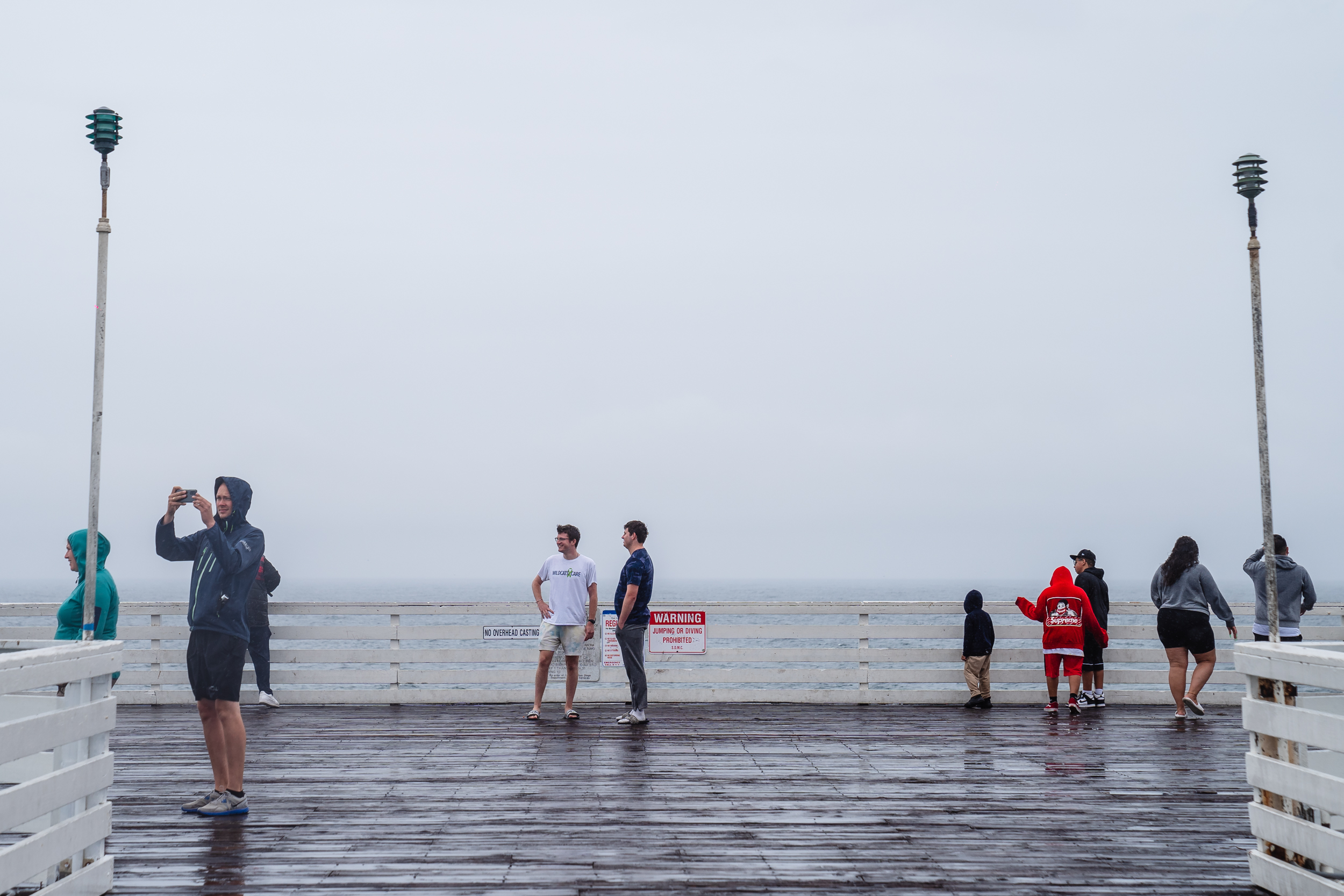
For most people west of the mountains in San Diego County on Sunday, the wind was like Waldo. Where was it? With tropical storm warnings came logical expectations of good gales. But in many spots, Hilary barely rustled leaves until late in the day, and even then the gusts weren’t extraordinary.
We tapped National Weather Service forecaster Miguel Miller for some post-storm insight on Hilary and the fickle wind. Here’s what we learned:
The county’s mountains, which did get 70+ mph gusts and even an 84 mph gust at Big Black Mountain, served as a shield.
Hilary’s track took the core of the storm basically right up the middle of the county. The most powerful winds with the storm’s counterclockwise rotation were out of the east.
In a strong Santa Ana scenario in San Diego County, winds are also out of the east, Miller said. But after those dry winds encounter the mountains, high pressure pushes the winds down the western slopes into the canyons and valleys, sometimes to the coast.
Miller said that on Sunday, Hilary’s low pressure on the western side of the mountains had the opposite effect: It made the air coming off the mountains rise, not sink into the valleys. Had Hilary taken a track farther west, the mountains might have been too far east to provide a shield, and the coast and valleys could have been blown around much more.
Hilary was somewhat of a perfect storm. It visited the county only because of a rare, large-scale summer atmospheric setup in the West. A trough of low pressure off the Northern California coast and a ridge of high pressure over the interior West created a bowling alley for Hilary to roll straight into San Diego County. In fact, it was like a bowling alley with bumpers on the side that keep the ball from dropping into the gutter. Hilary had nowhere else to go.

Miller said forecast models – and forecasters – don’t always handle brand-new, never-seen-before situations like Hilary very well. There’s no data from similar scenarios to feed into computers, no precedent for even the most experienced forecasters to base their predictions.
Yet the models and forecasters did a good job of nailing flooding in the desert, record-setting rainfall totals (San Diego had its wettest summer day ever) just about everywhere in the region, and the winds in the San Diego County mountains. But it appears they did not correctly pick up how the local ranges would interact with the storm and protect communities to the west from powerful gusts. Expect tons of Hilary research and study in the coming months, if not years.
There’s a tendency to think that computers today should be able to precisely predict any weather conditions. They can’t. By the next San Diego County tropical storm, if there is one in our lifetime, forecasters will have a prior case to help guide them. But some of us won’t be too disturbed if nature is still capable of throwing us an occasional, unhittable curve.
This is a very satisfying explanation, thanks for delving into this!
I would love to see a map showing this bowling alley effect and the mountains that affect our weather storms – even 3-4 maps showing the progression of the storms.